|
| *****SWAAG_ID***** | 152 |
| Date Entered | 07/03/2011 |
| Updated on | 07/03/2011 |
| Recorded by | Ric Carter |
| Category | Ring Cairns |
| Record Type | Archaeology |
| Site Access | Public Access Land |
| Record Date | 17/02/2011 |
| Location | Ellerton Moor |
| Civil Parish | Ellerton Abbey |
| Brit. National Grid | Hidden |
| Altitude | 362m |
| Geology | At the head of a small peat infilled ice margin channel |
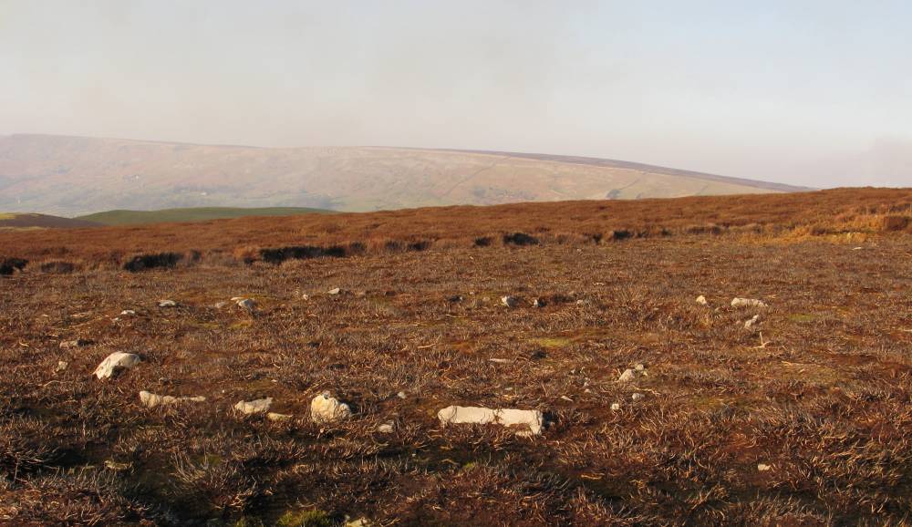
| Record Name | Ellerton Moor Ring Cairn |
| Record Description | An Early/Middle Bronze Age embanked stone circle or Ring Cairn, of circular plan,with sandstone kerbs and banking well defined where moorland heather burned off and with an internal circular depression (approx. 2m diameter)abutting the banking to the North and where there is the suggestion of an entrance way.The site on gently rising ground with outlook over Swaledale to the North West but restricted in other directions by higher ground close to the site. |
| Dimensions | External dia. 8.3m; internal 5.3m to 6m; banking 30cm high max. |
| Additional Notes | This Ring Cairn feature should not be regarded in isolation but rather in the context of other recorded (but un-excavated) features on Ellerton Moor which include a number of small cairns, burnt mounds and field systems.Similar Ring Cairn features previously excavated have been found to contain cremated human remains interred within typical collared and decorated clay urns. For example see "The Harden Moor Ring Cairn: An account of the excavations 1958-60,1983-4" publ.K. Boughey June 2010. Also see SWAAG data records (T.C.Laurie) Nos.150 (Harker Mires Cairnfield type settlement) and 151 (Harker Mires Ring Cairn). |
| Image 1 ID | 402 Click image to enlarge |
| Image 1 Description | Ellerton Moor Ring Cairn | 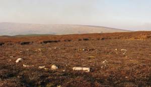 |